GIS, GPS, and Geocaching [F-15-24]
| Presenter: | Dakota Casserly |
|---|---|
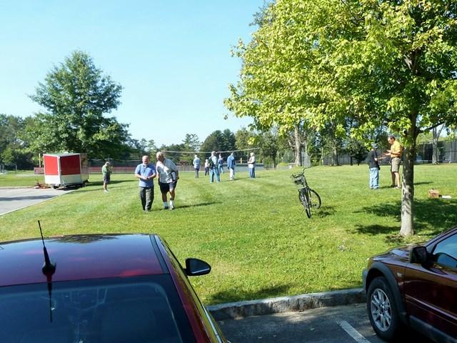
| Location: | SLU: Newell Field House - outside behind tennis courts |
| Classes: | 1 Session 1.5 hours |
| Dates: | Fri 10:00 AM 09/11 |
| Status: | CLOSED |
Print Info
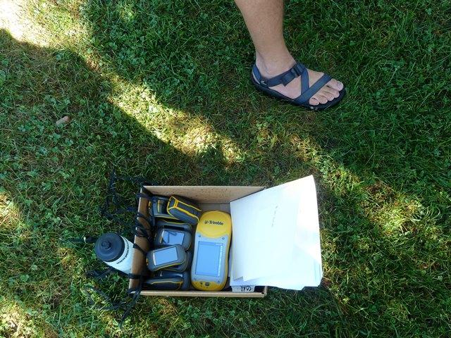
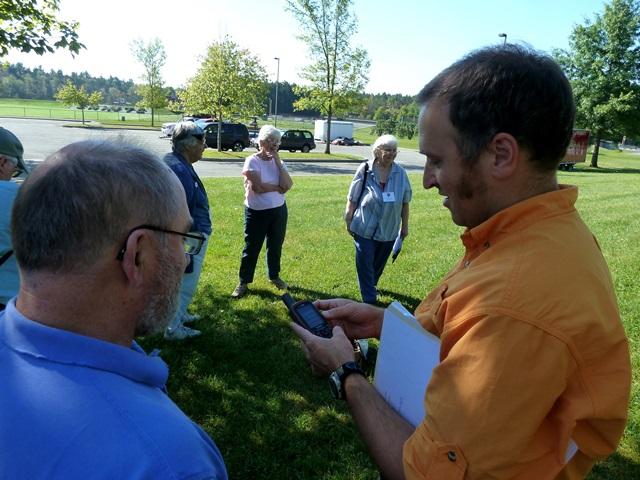
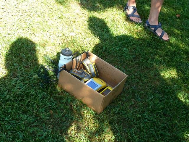
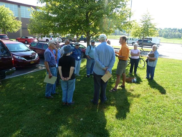
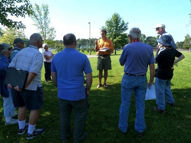
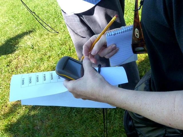
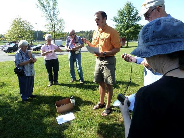
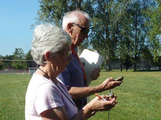
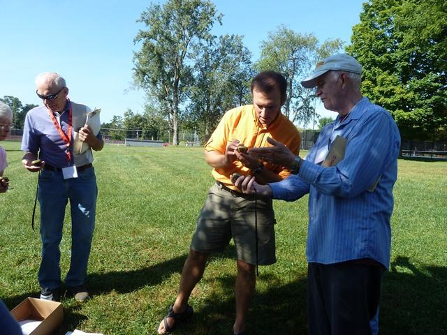
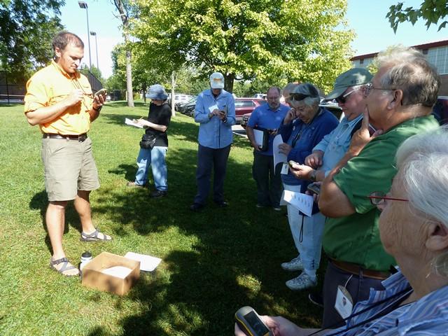
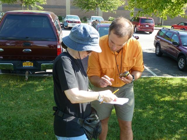
Participants in this session will receive a brief introduction to GIS (Geographic Information Systems) and its technologies. Then, they will learn how to use a GPS (Global Positioning System) device (a Garmin Dakota 10) and apply its capabilities in a geocaching field exercise. Geocaching is an outdoor activity that re
Currently Dakota Casserly is the GIS/GPS Technician at SLU, where he assists the GIS program director in all things GIS and GPS related. Thinking spatially (GIS speak) is a passion of his, and introducing people to GIS and GPS in an outdoor setting, especially in the north country, is what he likes to do.
NOTES: 1) Dress for the day’s outdoor activity: wear sturdy footwear and bring water, sunscreen, etc.; also bring a notebook and pen/pencil; 2) See the “GIS, GPS, and Geocaching” course page for some useful links.
Cap: 24